
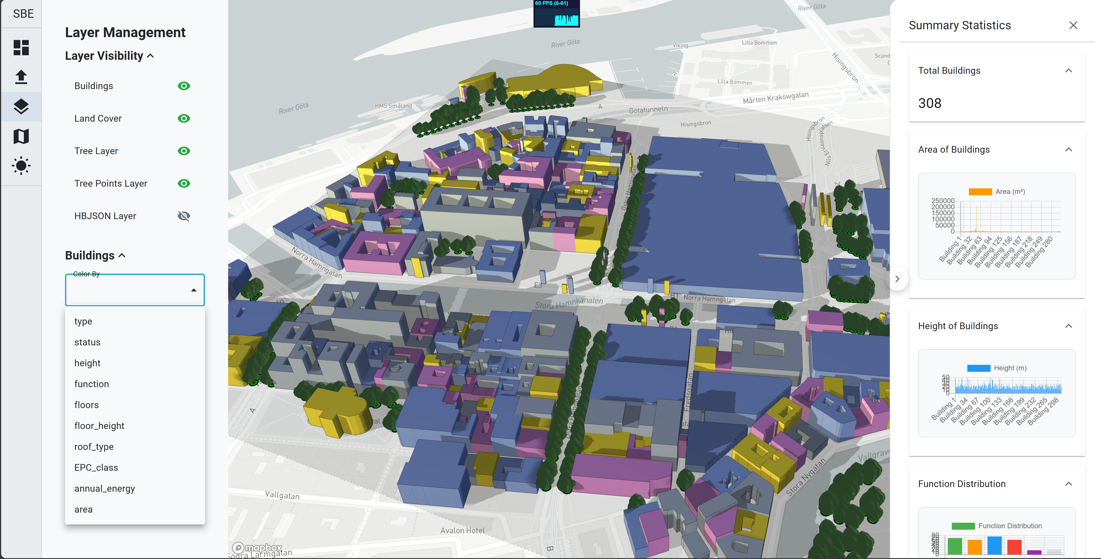
The GIS Viewer Application is a React-based project designed to load, view, and filter GIS files. It provides a user-friendly interface for visualising geographic data and supports various file formats.
Features
- Load and display GIS files (e.g., GeoJSON, Shapefiles)
- Filter data based on user-defined criteria
- Interactive map viewer for exploring geographic information
- Sunlight simulation with adjustable time settings
- Layer settings for toggling visibility, changing variables, and colormaps